Skip to main content
Main navigation
Activities
Skiing
Fishing
Hunting
Hiking
Camping
Biking
Boating
Climbing
Running
Miscellaneous
Trails & Tours
Biking Trails
Hiking Trails
Nordic Trails
Ski Tours
Backpacking Trips
Gear
Product Reviews
Care & Maintenance
Do-It-Yourself
Company Profiles
Contests & Giveaways
Events
Sports & Competitions
Clinics & Seminars
Art, Music & Food
Misc. Events
OutPost Newsletter
Training
Workouts
Nutrition
Injury Prevention
Skills & Safety
More
Culture
People
Dogs
Books
Humor
Conservation
Food & Drink
Arts & Culture
The New West
Around the Bozone
More
Store
Publications
Swag & Snark
Events
Advertising
Classifieds
More
Places
Road Trips
Maps & Guidebooks
Groups & Clubs
Podcast
The Magazine
Contests & Giveaways
Subscribe
About
Contact
Log in
0
Search
Main navigation
Activities
Skiing
Fishing
Hunting
Hiking
Camping
Biking
Boating
Climbing
Running
Miscellaneous
Trails & Tours
Biking Trails
Hiking Trails
Nordic Trails
Ski Tours
Backpacking Trips
Gear
Product Reviews
Care & Maintenance
Do-It-Yourself
Company Profiles
Contests & Giveaways
Events
Sports & Competitions
Clinics & Seminars
Art, Music & Food
Misc. Events
OutPost Newsletter
Training
Workouts
Nutrition
Injury Prevention
Skills & Safety
More
Culture
People
Dogs
Books
Humor
Conservation
Food & Drink
Arts & Culture
The New West
Around the Bozone
More
Store
Publications
Swag & Snark
Events
Advertising
Classifieds
More
Places
Road Trips
Maps & Guidebooks
Groups & Clubs
Podcast
The Magazine
Contests & Giveaways
Subscribe
About
Contact
Breadcrumb
Home
Resources
Maps & Guidebooks
Maps & Guidebooks
Resources
:
Maps & Guidebooks
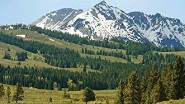
Book: Southwest Montana's Mountain Lakes
Activities
:
Hunting
The Must-Haves
Resources
:
Maps & Guidebooks
Book: The Last Best Trails Montana
Resources
:
Maps & Guidebooks
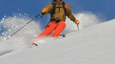
Book: Backcountry Skiing Bozeman and Big Sky
Resources
:
Maps & Guidebooks
Book: Peaks & Couloirs of Southwest Montana
Resources
:
Maps & Guidebooks
Book: A Ranger's Guide to Yellowstone Day Hikes
Resources
:
Maps & Guidebooks
Book: The Last Best Bike Montana
Resources
:
Maps & Guidebooks
Map: Terra Topo Hiking & Fishing Map
Resources
:
Maps & Guidebooks
Map: Cross-Country Low-Down
Resources
:
Maps & Guidebooks
Book: The Last Best Ski Montana
Blue Light
In the Loop
Resources
:
Maps & Guidebooks
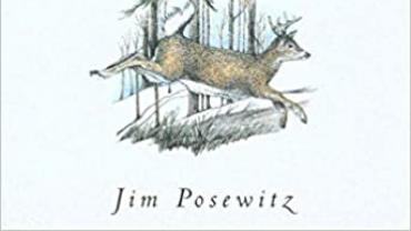
Book: Beyond Fair Chase
Resources
:
Maps & Guidebooks
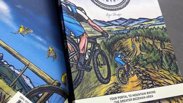
Book: Southern Montana Singletrack
Resources
:
Maps & Guidebooks
Book: Edible Wild Plants and Useful Herbs
Resources
:
Maps & Guidebooks
Map: Global Positions TerraTopo
Resources
:
Maps & Guidebooks
Book: Birds of Montana
Resources
:
Maps & Guidebooks
Map: Hyalite
Resources
:
Maps & Guidebooks
Book: Help Yourself
Resources
:
Maps & Guidebooks
Map: Day Hikes of Yellowstone National Park
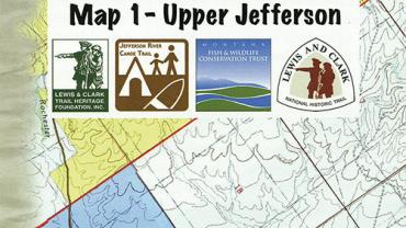
Resources
:
Maps & Guidebooks
Maps: Jefferson River Canoe Trail
Pagination
Current page
1
Page
2
Page
3
Page
4
Next page
Next ›
Last page
Last »
Popular This Week
Resources
:
Maps & Guidebooks
Map: Hyalite
Resources
:
Maps & Guidebooks
Book: Stepping Up
Resources
:
Maps & Guidebooks
Climbing Book Face-Off