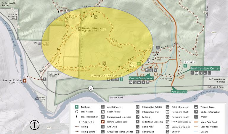
Lewis & Clark Caverns Trails


Length: Varies, depending on which trail(s) you take
Duration: 30 minutes to a half-day
Difficulty: Easy to difficult
Elevation Gain: Varies, depending on which trail(s) you take
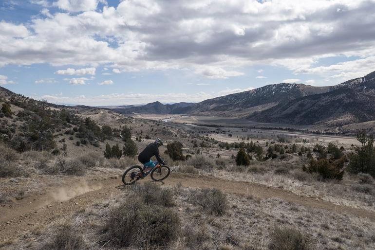
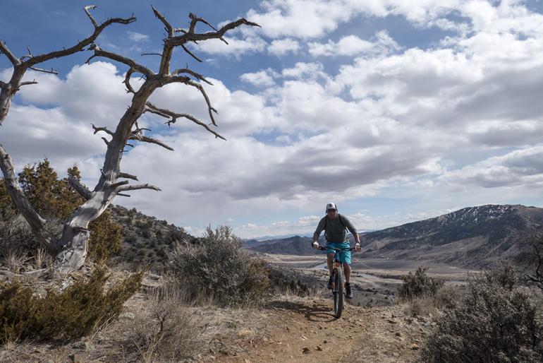
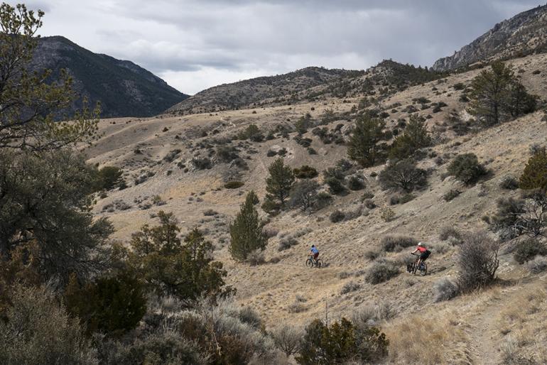
Activities: Hiking, trail running, mountain biking
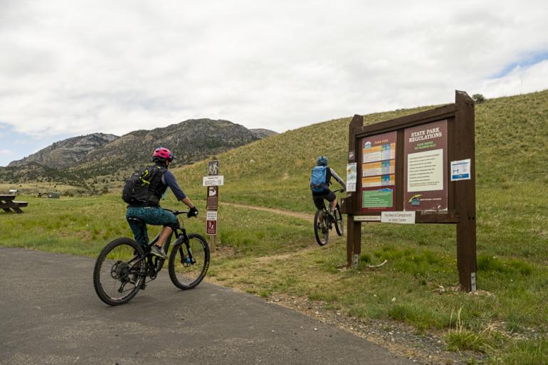
Crowds: Heavy traffic
About
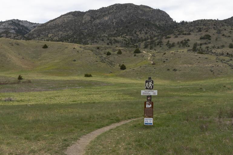
The Lewis & Clark Caverns trail system offers 7 different trails. From easy to difficult, the trails are: Nature Loop Trail, which is a quarter-mile jaunt; Fly Fishing Access Trail, which takes you just over 1 mile along the Jefferson River; Greer Gulch Loop Trail, which is a moderate 2-mile hike; Danmore Gypsum Mine Trail, another 2-mile hike from which you can still see the old mine; Middle View Trail, which runs down a large dolomite knob; Cave Gulch Trail, which gains 1,000 feet in 2 miles and leads right to the L&C Caverns Visitor Center; and the East Side Trail, which winds for 4 miles, starting and ending at the same places as Cave Gulch Trail. Another option is the "Grand Loop," a 6-mile hike that starts and stops at the campground or visitor center.
Read up on the history of the caverns here.

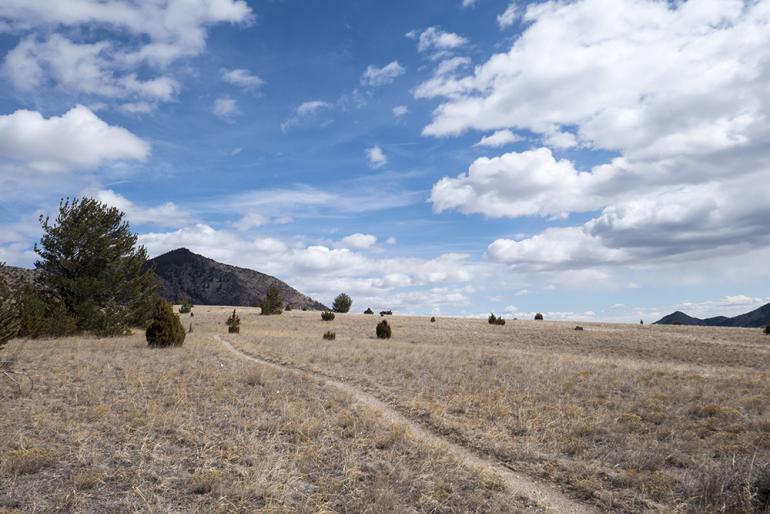
Seasonal Conditions
Dry when other trails aren't—thanks to its desert-like terrain—L&C Caverns is a favorite spring ride for singletrack-hungry cyclists and trail runners. This area is also popular in the winter, when the Caverns offer candlelight tours of the caves for fun family outings.
Directions
From Bozeman, drive west on I-90 to the Hwy. 287 exit west of Three Forks. Drive south to the Y intersection, bending right onto Hwy. 2. Travel west along the Jefferson River until you reach Lewis & Clark Caverns State Park. Parking is on the north side of the highway.
For more information from Montana FWP, click here.