M Trail

Length: 1-3 miles
Duration: 20 minutes to 1 hour
Difficulty: Easy to difficult (depending on which trail you choose)
Elevation Gain: 850 feet
Activities: Hiking, trail running
Crowds: Very heavy traffic
About
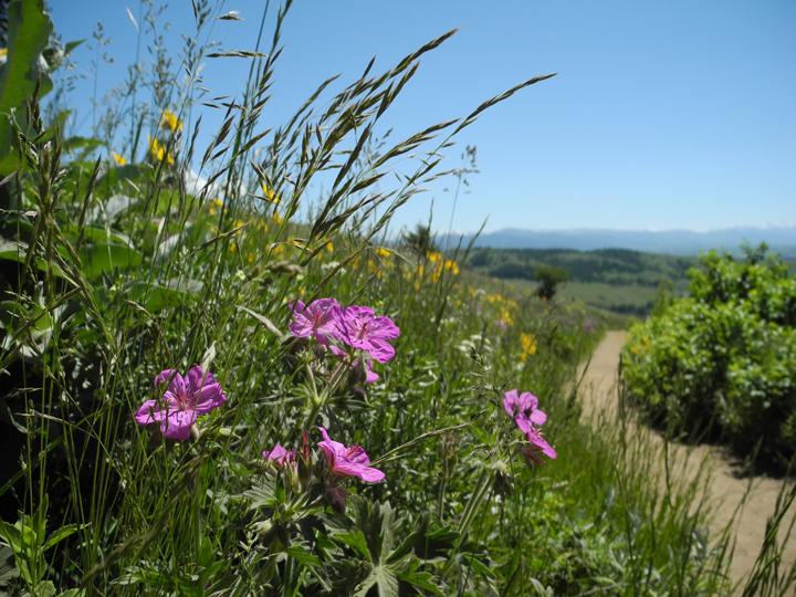
At the mouth of Bridger Canyon is the landmark “M” created by Montana State University students in 1915. There are two routes to the M from the trailhead—one steep and direct, the other gradual and winding. To take the steep ascent, go right at the first junction; for an easier and longer climb, take a hard left. This trail is close to Bozeman and very, very popular. The views of the Gallatin Valley and the Story Hills are spectacular, and hikers use the trail as a lunchbreak loop or out-and-back. Don't bike this trail, for your safety and others'. And for God's sake, pick up after your dog!
Seasonal Conditions
The "M" gets plentiful sun from the west, so it's usually among the driest trails early in the spring and later into the fall. To hit the trail during winter months, wear the appropriate gear for slick and snowy conditions.
Directions
Go north on Rouse Ave., which becomes Bridger Canyon Rd. After a few miles, turn left into the signed parking area, just before a narrow constriction between the Bridgers and the Story Hills.

Map courtesy of Robert Stone's Day Hikes Around Bozeman, Montana.
45.70992748693, -110.97685626929