Map: Terra Topo Map

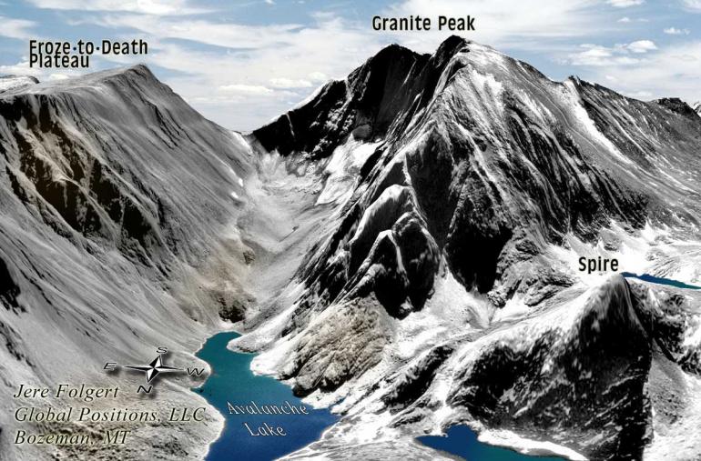
Few things trigger a sense of adventure like a good backcountry map. Poring over the terrain with an adopted bird's-eye view, you see a whole new world of possibilities—distant peaks, secluded canyons, and remote lakes unseen from the ground. The TerraTopo from Global Positions reveals all these features and more, transforming the Absaroka-Beartooth Wilderness from a daunting mega-wilderness to an alluring expanse of incredible alpine country. Combining navigational readability with colorful, elegant renderings, the TerraTopo covers everything from trailheads and campgrounds to the fish species found in each lake. An artful blend of cartographic techniques results in an accurate elevation guide with a striking three-dimensional appearance—something you don't get from standard USGS topo maps. Wondering what animals lurk in this vast landscape? Flip the map over for an informative overview of large mammals common to the area. Full-color drawings of every fish species ensure you'll know exactly what kind of trout you've landed. The TerraTopo also includes plant-, lichen-, and mushroom-identification charts, and a first-aid section for emergency treatment of minor injuries. To top it all off, the map is completely waterproof, so no worries about it disintegrating during one of Montana's notorious summertime rainstorms. $12; globalpositions.com.