Seismic Proportions
Visiting Earthquake Lake.
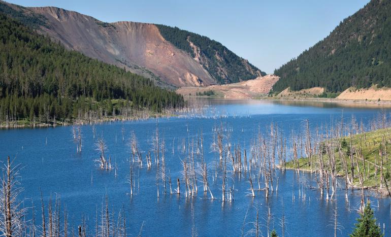
Earthquake Lake provides visitors a stark reminder of the disaster that can occur when the human and geologic timescales overlap. Just before midnight on August 17, 1959, the magnitude 7.3 Hebgen Lake earthquake triggered an 80-million-ton landslide, forever burying 19 people and naturally damming the Madison River. As haunting as it is dynamic, this drive offers a good mix of history and geology, so pack a lunch and head south on US Hwy. 191.
Past Big Sky, but before West Yellowstone, turn west onto Hwy. 287 toward Hebgen Lake. Continue down the road, keeping an eye open for the wayside exhibit for an Earthquake Lake Geologic Area pamphlet. To the northwest is Red Canyon, where a second fault slipped that night, dropping the block of mountains to its south. This is how earthquakes commonly occur: rocks in the subsurface break and slide past one another, releasing energy as seismic waves. The Hebgen Lake fault on the lake’s northeastern edge was the major fault that slipped that night. Looking at the lake, envision the basin instantly tilting 20 feet to the north. This shifted Hebgen Lake, causing it to rock back and forth for hours like water in a tub. After the lake settled, residences on the south side lost their beachfront property, while some on the north were submerged.
The Cabin Creek scarp below the Hebgen dam is a good place to see a direct product of the earthquake. At 20 feet tall, this break in the hillside (scarp) is the surface expression of the Hebgen Lake fault. Try to visualize the instant dropping of Hebgen Lake, the immense energy released, and the entire landscape in momentary seismic disarray.
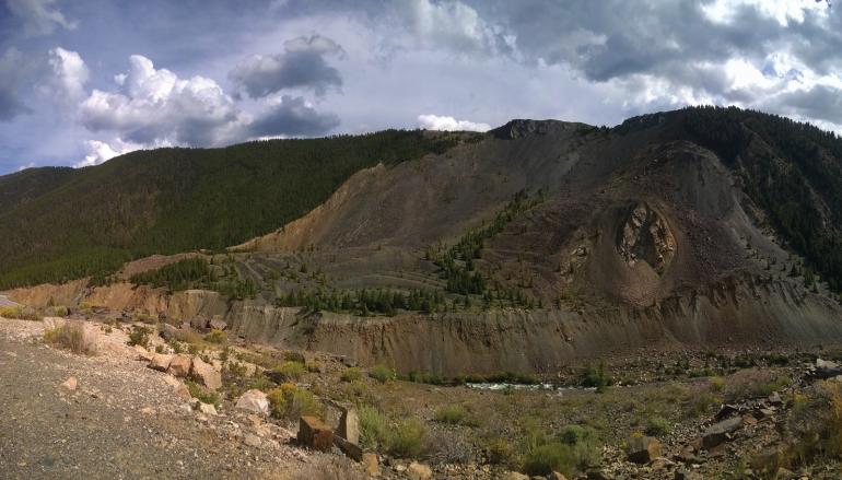
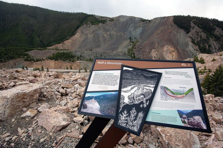
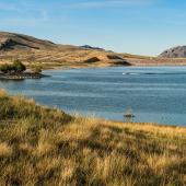
Further southwest, Earthquake Lake and the landslide come into view. A number of pullouts provide safe views of the slide’s magnitude. In a sense, this event was millions of years in the making. Here, rocks are tilted steeply into the canyon. As the earthquake occurred, a buttress of rock failed, allowing the mountainside behind it to slide into the canyon at 100 mph and 300 feet up the opposite canyon wall. Gale-force winds ripped campers from their slumber; some were never seen again, likely buried beneath the slide.
Built atop the slide, the visitor center is well worth the stop for its knowledgeable staff, exhibits, and commanding perspective. A video summarizes the events of August 1959, while an operating seismograph records daily earthquakes. Short hikes from the visitor center are also available.
You can continue your seismic journey north on Hwy. 287. Notice the steep Madison Range front, a product of the same processes as the Hebgen Lake earthquake, incrementally uplifting the Madison Range. Look for fault scarps on the mountainside near the Hwy. 87 junction. These are the result of earthquakes 10,000-15,000 years ago, showing the area is no stranger to shaking. Indeed, southwest Montana is very geologically active, and Earthquake Lake is a testament to this occasional coincidence of geologic time with our daily life.
Jacob O. Thacker has a Master’s degree in Earth Science from MSU and is currently pursuing a Ph.D. in Geology at the University of New Mexico. He provided geologic input for renovations and spent a summer working at Earthquake Lake in 2014.

